

Conservation Halton has released a Watershed Conditions Statement advising to look out for potential fast flowing water, and flooding of low lying areas and natural floodplains.
The Provincial Surface Water Monitoring Centre (SWMC) is tracking a significant weather system that is expected to pass through Halton Region beginning tomorrow afternoon and continuing until early Friday.
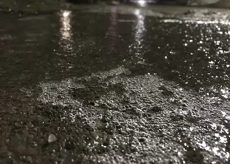
Current local forecasts estimate total rainfall amounts between 20 and 30 mm. An additional 10-15 mm of mixed precipitation (freezing rain/snow) is also possible as air temperatures will drop below zero on Thursday afternoon.
Although widespread flooding is not anticipated, forecasted precipitation combined with melting snow and frozen ground conditions will result in increased water levels and flows within our rivers and streams which will continue over the next several days.
The combination of slippery and unstable banks, unsafe ice and cold water temperature will create hazardous conditions close to any river, stream or other water bodies. In addition, ice breakup may result in blockages at bridges and culverts producing localized flooding concerns in low lying areas.
Conservation Halton is asking all residents and children to stay off ice covered bodies of water and keep a safe distance from all watercourses and structures such as bridges, culverts and dams. Elevated water levels, fast flowing water, and slippery conditions along stream banks continue to make these locations extremely dangerous. Please alert children in your care of these imminent dangers.
Conservation Halton will continue to monitor stream and weather conditions and will issue an update to this Watershed Condition Statement –Flood Outlook message.
This Watershed Condition Statement will be in effect until Saturday February 19th.


